Parkers Prairie TH29 Improvements
Parkers Prairie, MN
Markets Served
Civic and Municipal
Challenge:
Prior to the reconstruction, the road width and pedestrian crossing width was 72 feet, which included 2 18’ parking lanes, two 12’ driving lanes and a 12’ left turn lane, with non-continuous sidewalks, poor lighting and an under-sized storm sewer system. The project was originally designated as a mill and overlay, but the City desired State Trunk Highway 29 in Parkers Prairie to be safer and more beautiful downtown setting.
Solution/What Worked:
Two years prior to the start of construction, the City began community planning sessions, which included engineers, residents, business owners, City officials, MnDOT and County representatives and anyone else interested in contributing and assisting in creating the vision for the new Trunk Highway 29.
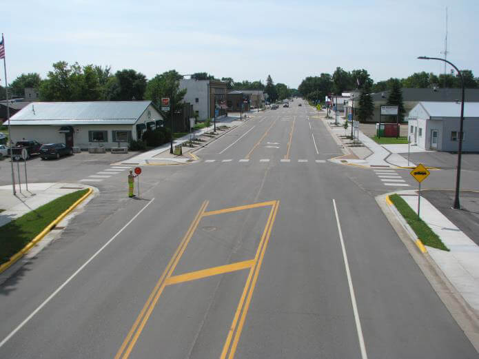
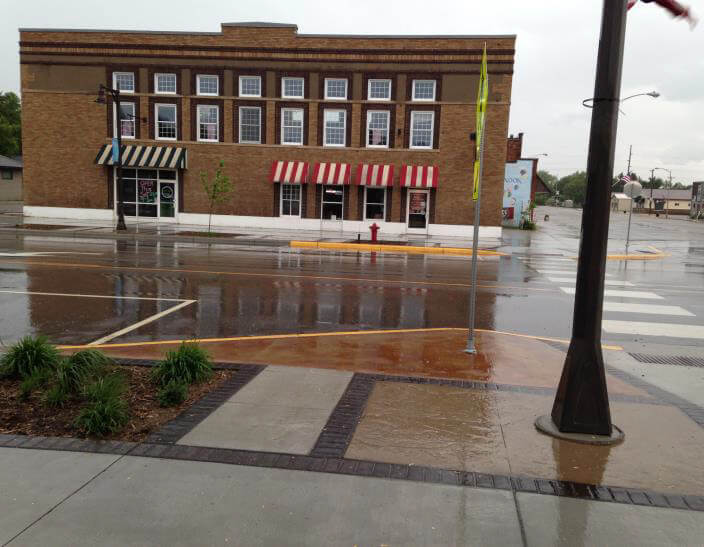
Through this process and the many meetings, the group refined the concept for the design, which resulted in narrow travel lanes, a new center turn lane, pedestrian bump-outs, widened decorative sidewalks, planting areas, new energy-efficient decorative lighting and a RRFB near Parkers Prairie High School.
The ultimate design reduced the pedestrian crossing distance to 44 feet, a reduction of 28 feet and has resulted in fewer crashes and a lower rate of injury and property damage crashes.
Fun Fact:
The construction of four projects occurred concurrently within the corridor and all were being led by separate entities, MnDOT, Otter Tail County, City of Parkers Prairie and Parkers Prairie Public Schools.


